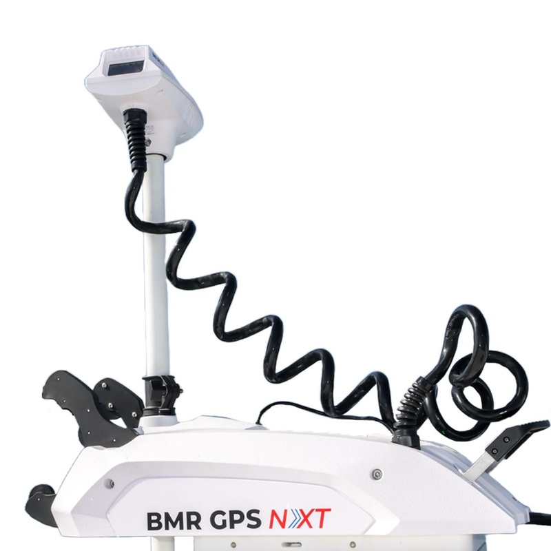
With the Garmin Echomap UHD2 Chartplotters with the built-in Garmin Navionics mapping you can see clear, sharp fish arches with the Garmin traditional sonar.They say the local fishermen know their area better. Well, not anymore. With the Garmin Echomap UHD

With the Garmin Echomap UHD2 Chartplotters with the built-in Garmin Navionics mapping you can see clear, sharp fish arches with the Garmin traditional sonar.
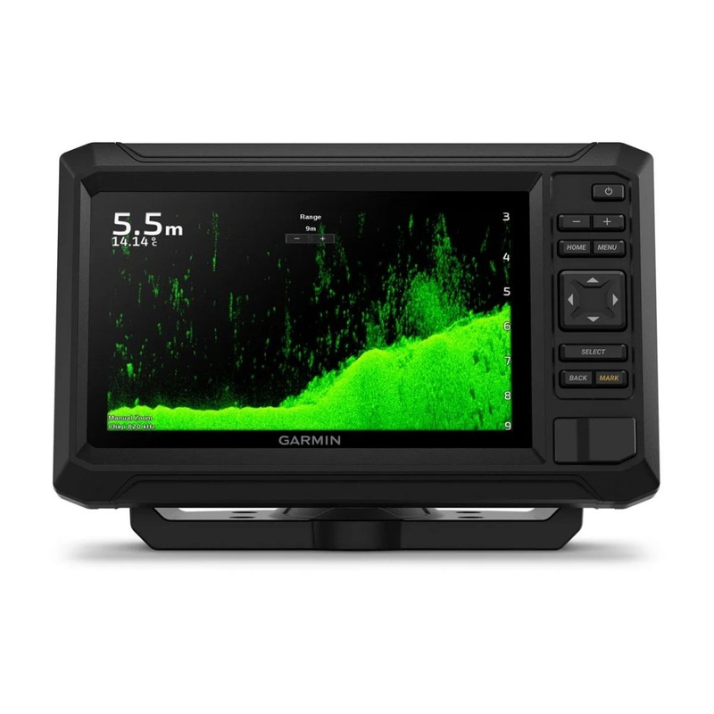
They say the local fishermen know their area better. Well, not anymore. With the Garmin Echomap UHD2 Chartplotters with the built-in Garmin Navionics+ mapping you can see clear, sharp fish arches with the Garmin traditional sonar. Use ClearV scanning sonar featuring vivid color palettes for clear, high-contrast views below your boat.
Combining the best features of Garmin and Navionics automatic routing solutions, Auto Guidance+ gives the boater a suggested path to follow through channels, inlets, marina entrances and more. Get double the views with Garmin CHIRP traditional and ClearV scanning sonars (Transducer required). Whats under the water looks even better with high-contrast vivid color palettes.
Traditional Sonar
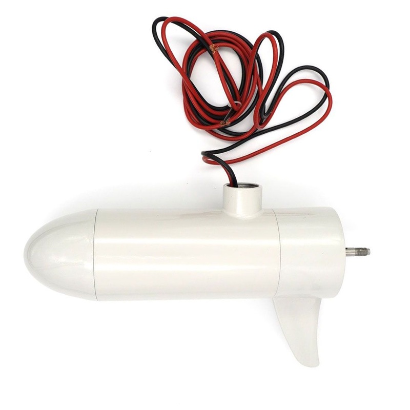
Using powerful sound waves to ping objects in the water below, Traditional Sonar translates the echoes from those waves, into the images of fish, structure and bottom depths, you see on your display. This type of pulse, or signal may be high in power, but its short in duration. This limits the total amount of energy that can be transmitted into the water column below. The cone-shaped beam, of the typical sonar transducer, is approximately 40 degrees, or less. However, this signal expands the farther it travels in the water column, so the cone of coverage it produces on the bottom of a lake can be quite large.
Different frequencies reveal different levels of detail. For example, higher-frequency sonar is best at providing clear views of fish and structure in shallower water situations. Conversely, a low-frequency pulse can penetrate deep water but provides less imaging detail. To provide a more balanced combination of depth and detail, most traditional sonars now use a dual-frequency transducer for coverage thats easier to translate.
Scanning Sonar
Scanning sonar technology, uses high-frequency pulses, to give you a detailed, photo-real representation of fish and structure in the water below. Instead of a cone-shaped beam, Garmin scanning sonars use a narrow beam of very high-frequency energy, to create extremely detailed, digitally composed sonar images.
Garmin chartplotters and transducers are available with two main types of imaging: ClearV and SideV scanning sonars. The difference between the two is that ClearV is down-imaging sonar, designed to show a high level of detail in a narrow window under the boat, while SideV, as the name implies, is side-imaging sonar covering larger areas of water, to either side of your boat. Thus, ClearV generates detailed images of what is below the boat, while SideV covers a larger viewing area around your boat. Its useful for identifying bottom features, structure and cover where the best fishing spots may be found.
SideV
ClearV
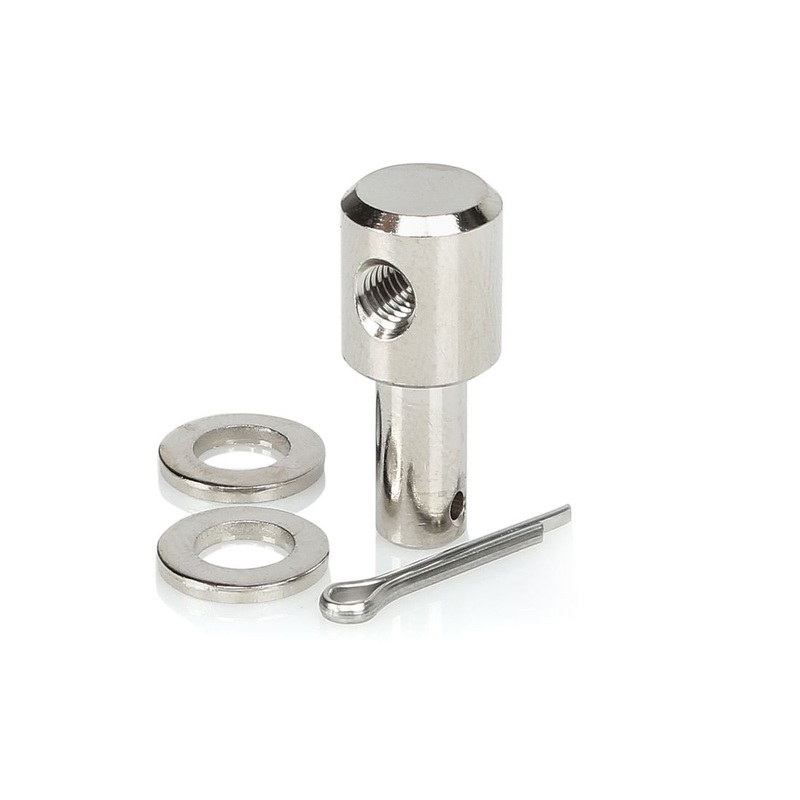
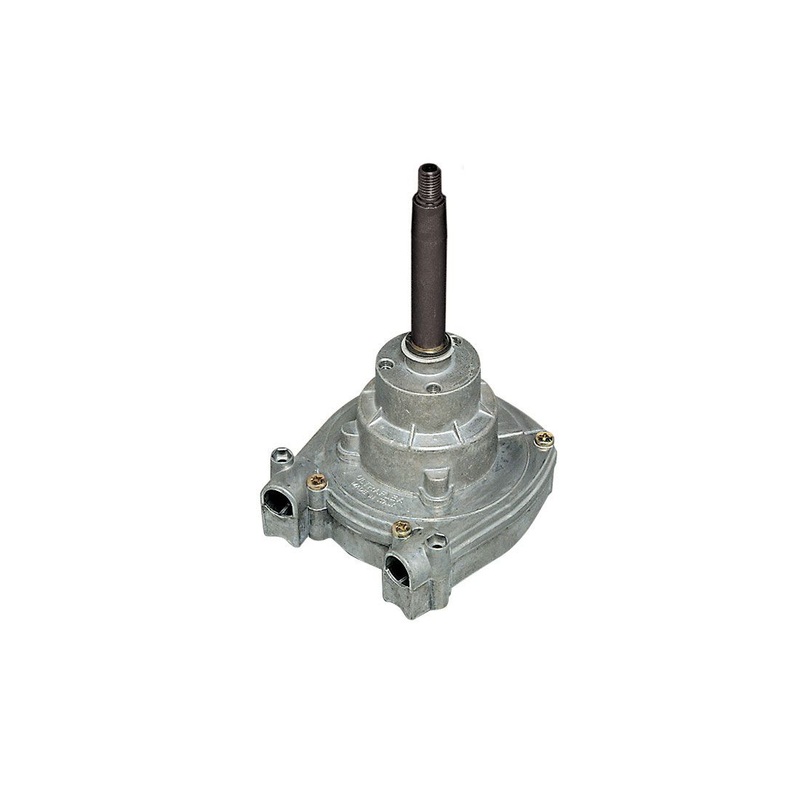
Included:
Download here the Owners Manual
Download here the Transducer Installation Instructions
Reviews
There are no reviews yet.